Google Satellite Maps Downloader
8.412
| Size | : 18.3 MB |
| Language | : English |
| License | : Demo |
| Virus Scan | : 0 / 98 |
| Producer | : Allmapsoft |
| System | : Windows (All) |
| Update | : 03.11.2025 |
| Editor | : Barbara |

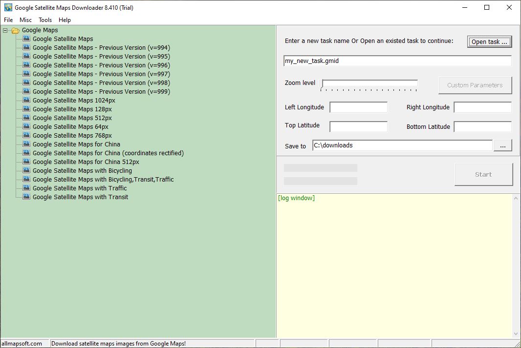
Google Satellite Maps Downloader is a utility that allows you to download satellite imagery from Google Maps in small pieces and save it to your computer. You can view downloaded images stored on disk with Map Viewers. This software allows you to view maps in small sizes or combine them to create a larger map.
Google Satellite Maps Downloader, with its simple interface, works with coordinates and geographic location elements. With customizable settings and configurations, you can easily download images of any region to your computer.
Google Satellite Maps Downloader is used for engineering, land planning, mapping, geographic information, education, and research projects. You can download satellite imagery by adjusting the zoom level. Due to limited copyright protection, the software offers limited support, allowing you to pause downloads and merge them, revert to a previous version, or continue where you left off.
You can obtain large maps by combining downloaded satellite images with Google Satellite Maps Downloader, which is preferred for offline map use, and combine them into bmp, jpg, tif, png, sgi, img, kmz, rst, pnm, pdf, mbtiles, gpkg maps.
